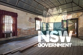
Subject: Dining room (added c.1900), early 2016.
Photographer: No Author
Copyright owner: Newcastle City Council
Date: No Date
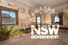
Subject: Parlour (created c.1900 by amalgamation of bedrooms), early 2016.
Photographer: No Author
Copyright owner: Newcastle City Council
Date: No Date
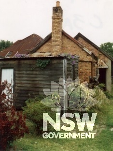
Subject: Bathroom/laundry and kitchen, c.1995, with 1900 dining room beyond, and original element of house at left, before conservation works.
Photographer: No Author
Copyright owner: Newcastle City Council
Date: No Date
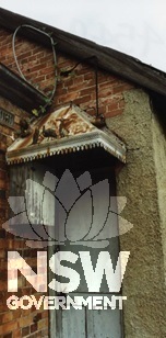
Subject: Fauna commemorating Federation, c.1995, decorative door glazing is concealed.
Photographer: No Author
Copyright owner: Newcastle City Council
Date: No Date
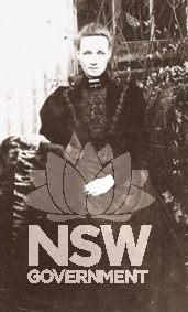
Subject: Mrs Alice Little
Photographer: No Author
Copyright owner: late Mrs Naomi McCourt
Date: No Date
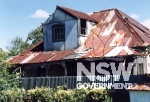
Subject: The house c.1995, before conservation works.
Photographer: No Author
Copyright owner: Newcastle City Council
Date: No Date
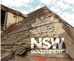
Subject: Shingle roof exposed during conservation works.
Photographer: No Author
Copyright owner: Newcastle City Council
Date: No Date
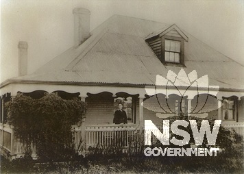
Subject: The house c.1900, showing recently completed alterations and additions. The lady proudly standing on the verandah is Mrs Alice Little.
Photographer: No Author
Copyright owner: late Mrs Naomi McCourt
Date: No Date
Subject: Restoration of flat arch lintel.
Photographer: No Author
Copyright owner: Newcastle City Council
Date: 01/07/2020
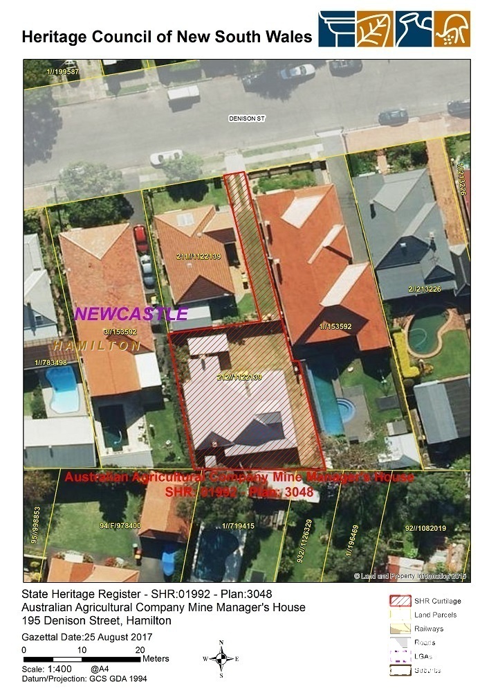
Subject: SHR 1992 - Curtilage Map 3048
Photographer: Heritage Division
Copyright owner: Heritage Council of NSW
Date: 25/08/2017
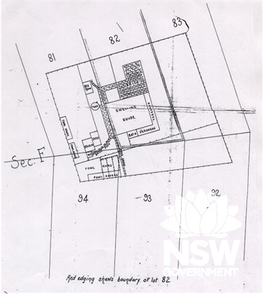
Subject: Subdivision plan, showing house and outbuilding, ealy 1900s.
Photographer: No Author
Copyright owner: Late Naomi McCourt
Date: 01/07/2020
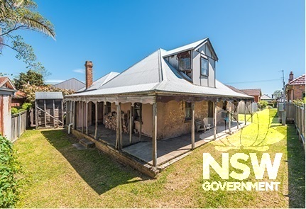
Subject: The house from the south-east, early 2016.
Photographer: No Author
Copyright owner: Newcastle City Council
Date: 01/07/2020
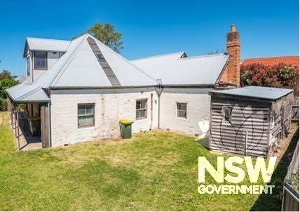
Subject: The house from the north-east, early 2016.
Photographer: No Author
Copyright owner: Newcastle City Council
Date: 01/07/2020
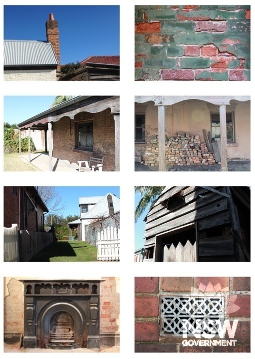
Subject: Aspects of elements of the house.
Photographer: No Author
Copyright owner: Newcastle City Council
Date: 01/07/2020
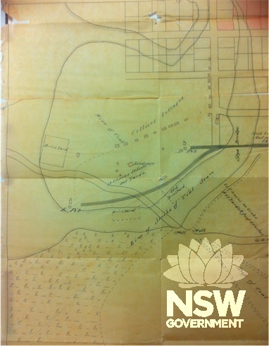
Subject: Portion of an 1859 map showing location of the relationship of the house (‘Lindsays’) to The Borehole and its associated collieries, railway lines and other infrastructure, such as brickyards, wells and the government road. Miners’ dwellings stand along
Photographer: No Author
Copyright owner: Noel Butlin Archives Centre
Date: 01/07/2020