Quick View
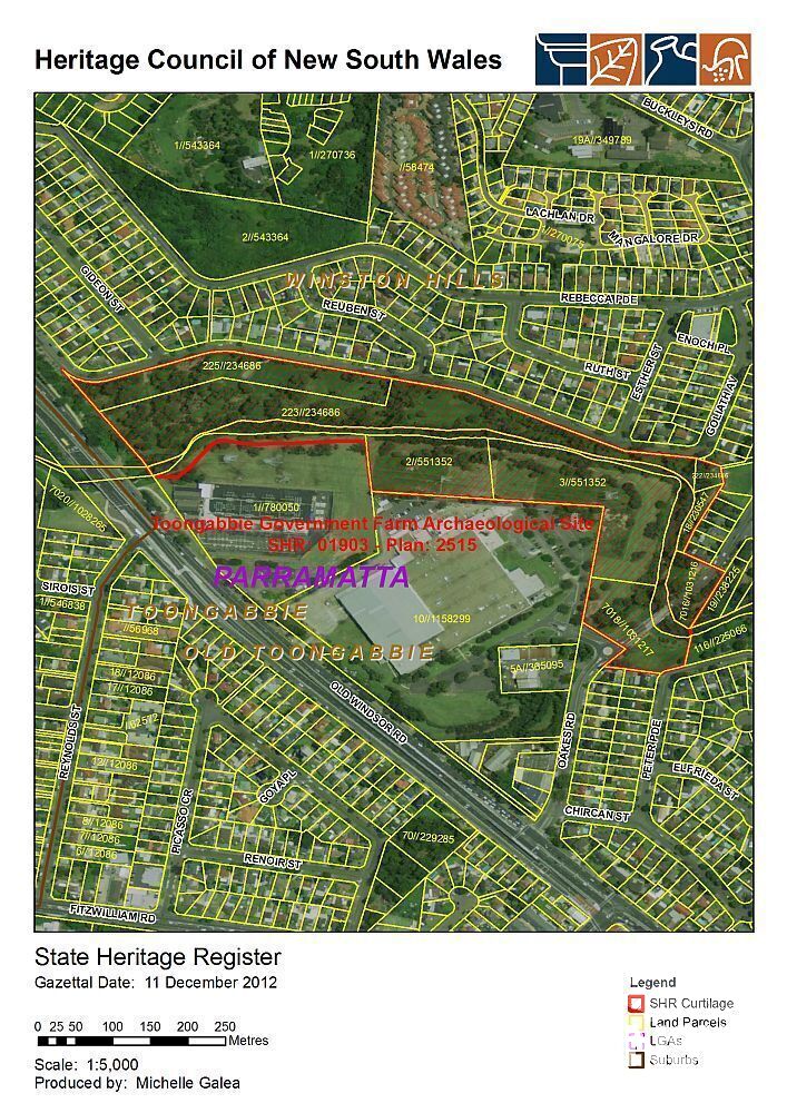
SHR #01903
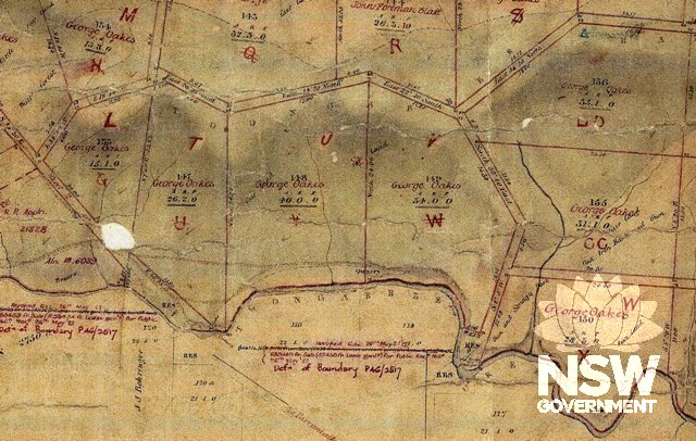
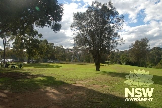
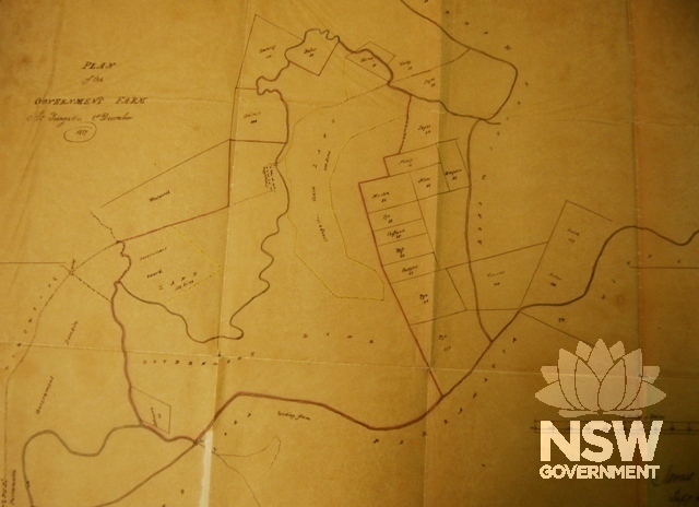
Goliath Avenue WINSTON HILLS NSW 2153
City of Parramatta
Deerubbin
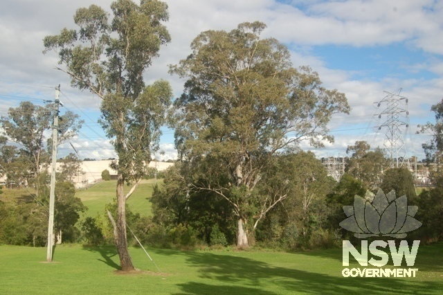
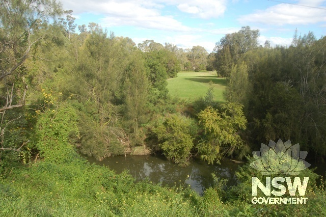
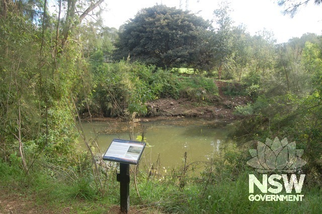
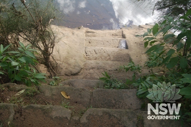
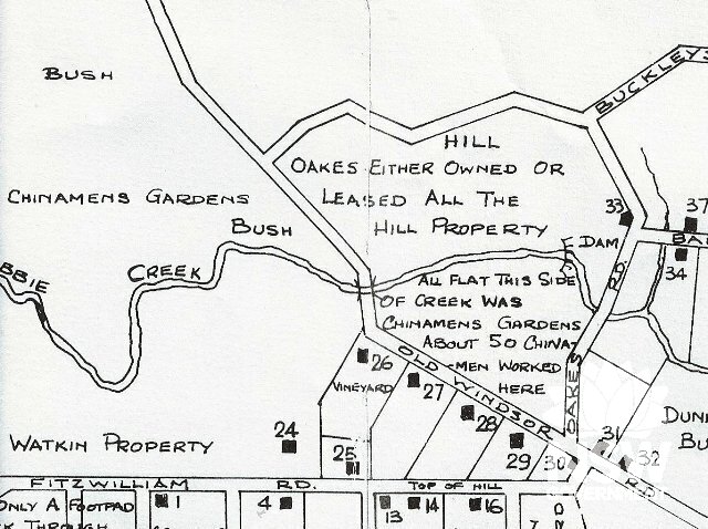
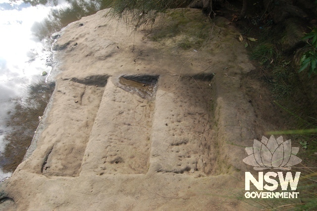
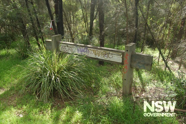
Archaeological-Terrestrial
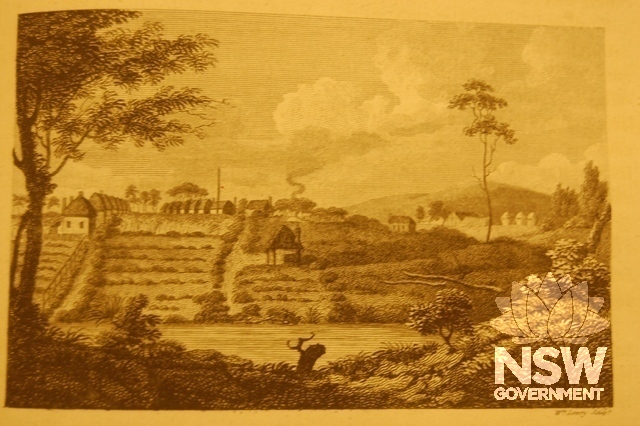
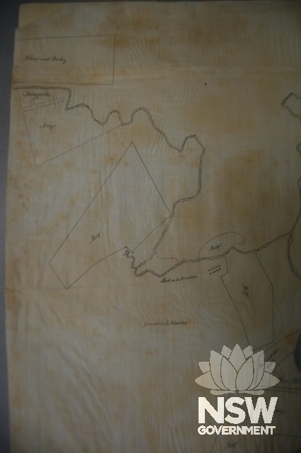
Farming and Grazing
Farm