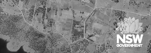
Subject: 1943 aerial photograph of Prospect showing the extent of the Former Great Western Roadand the patterns of rural land use from the village of Prospect at the eastern end of the road (at right of image, on the present day Tarlington Place) to the present da
Photographer: No Author
Copyright owner: RTA
Date: 01/01/1943
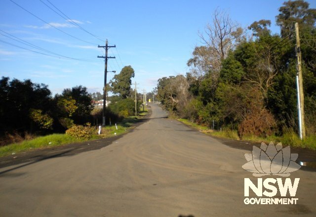
Subject: Present day Reservoir Road looking south from the M4 towards the Prospect Highway intersection. The 1890s Bridestowe homestead is in the distance, at left.
Photographer: Ed Beebe
Copyright owner: COPYRIGHT HERITAGE NSW
Date: 03/07/2011
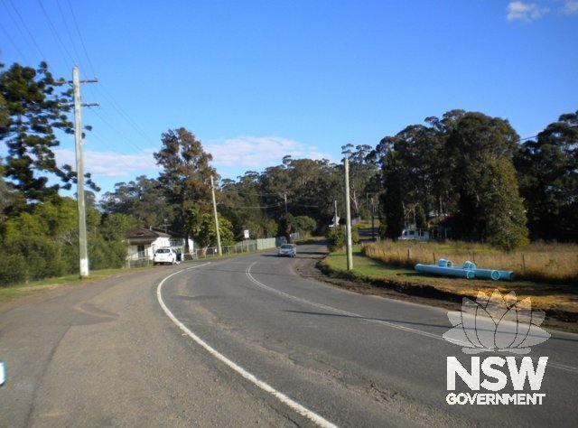
Subject: Reservoir Road looking south-west from the Prospect Highway intersection towards the entrance to the Prospect Reservoir (at left).
Photographer: Ed Beebe
Copyright owner: COPYRIGHT HERITAGE NSW
Date: 03/07/2011
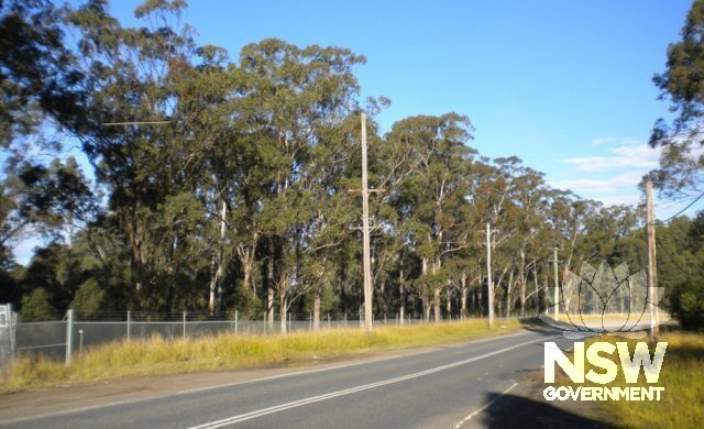
Subject: Reservoir Road, west of the Watch House Road intersection, looking south-west. The wooded area is the Prospect Reservoir reserve.
Photographer: Ed Beebe
Copyright owner: COPYRIGHT HERITAGE NSW
Date: 03/07/2011
Subject: 2010 aerial photograph of the Former Great Western Road from Tarlington Place in the east (at right of image) to Yallock Place, approching the M4 in the west (at left of image).
Photographer: NSW Land and Property Management Authority
Copyright owner: LPMA
Date: 01/01/2010
Subject: SHR Plan 2535
Photographer: Heritage Division
Copyright owner: Heritage Branch, Office of Environment & Heritage
Date: 27/06/2014