Quick View
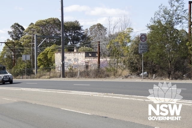
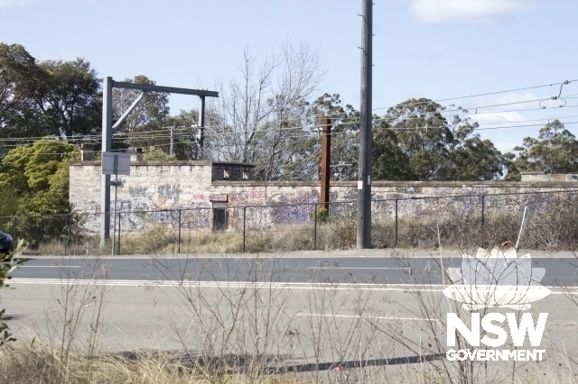
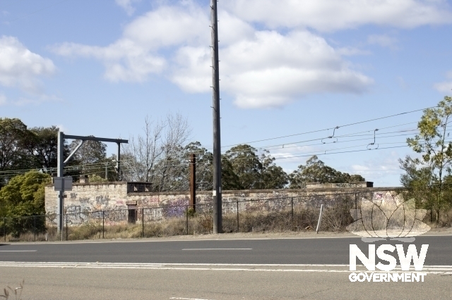
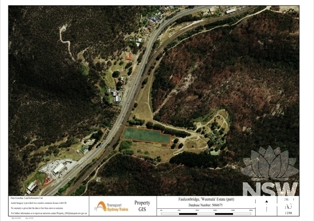
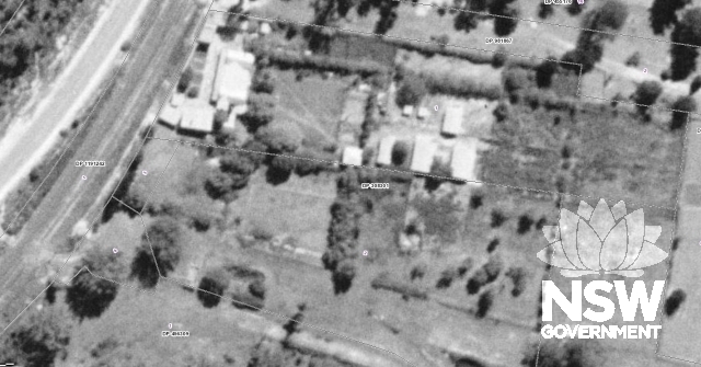
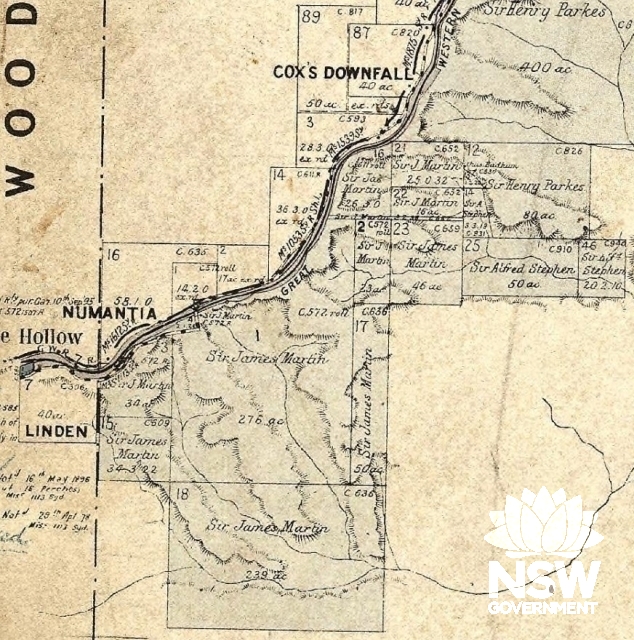
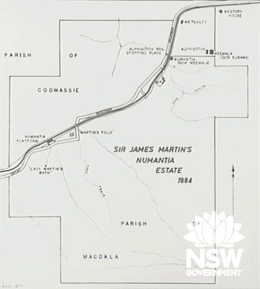
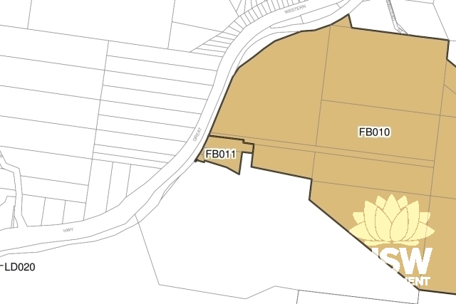
704 Great Western Highway FAULCONBRIDGE NSW 2776
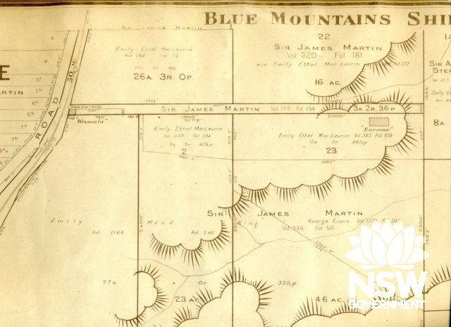
Blue Mountains
Unknown
Archaeological-Terrestrial
Residential buildings (private)
Homestead building